Iningai Nature Reserve
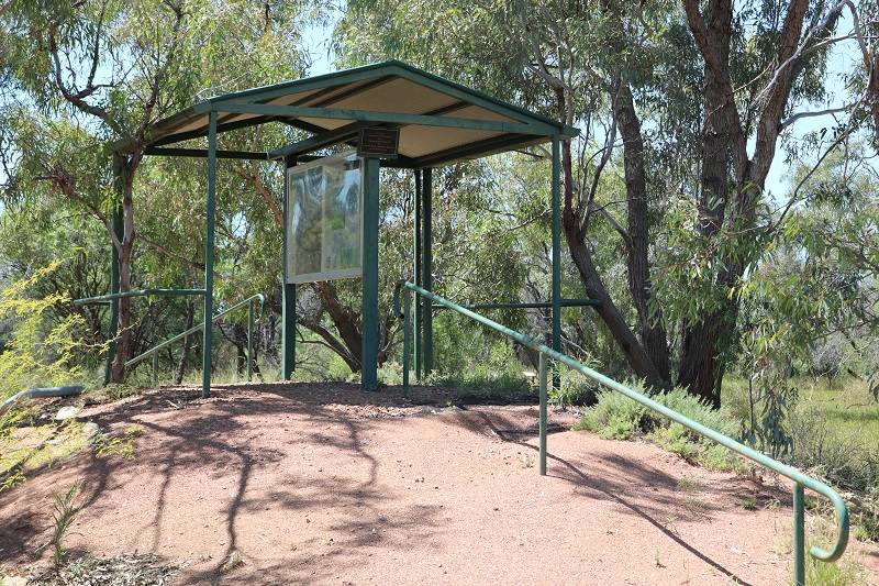
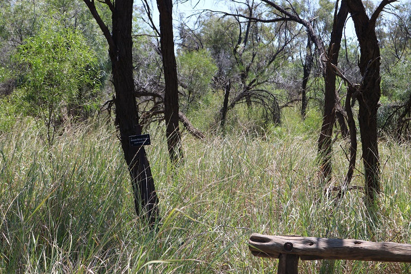
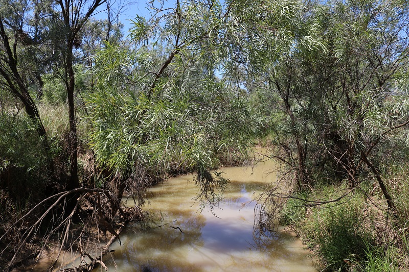
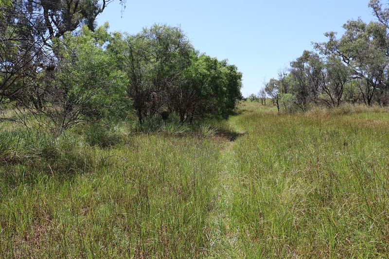
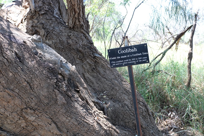
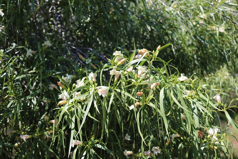
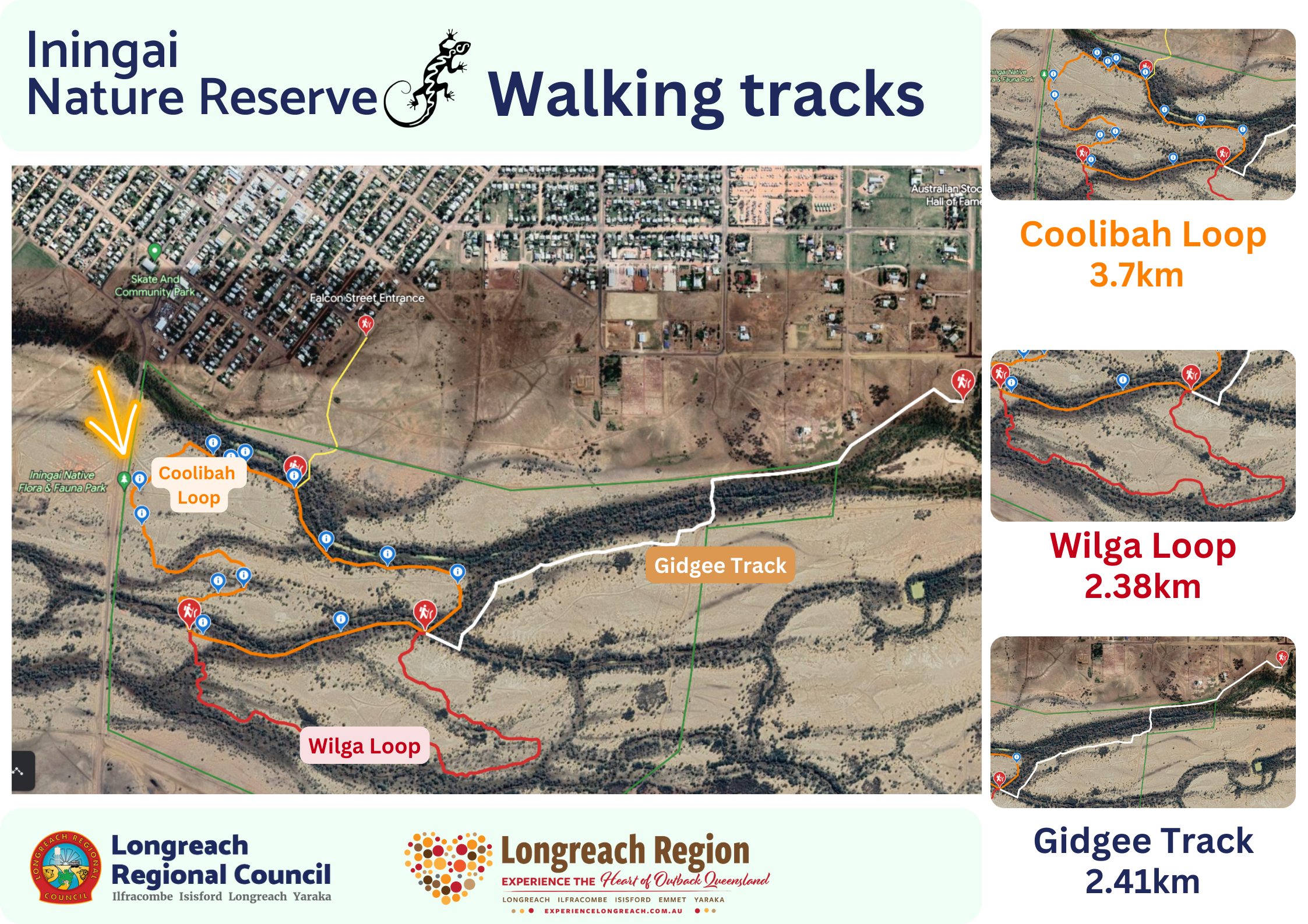
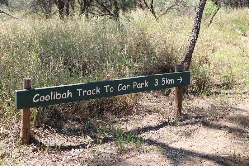
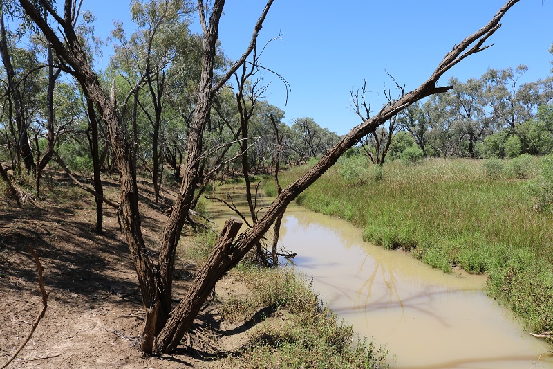
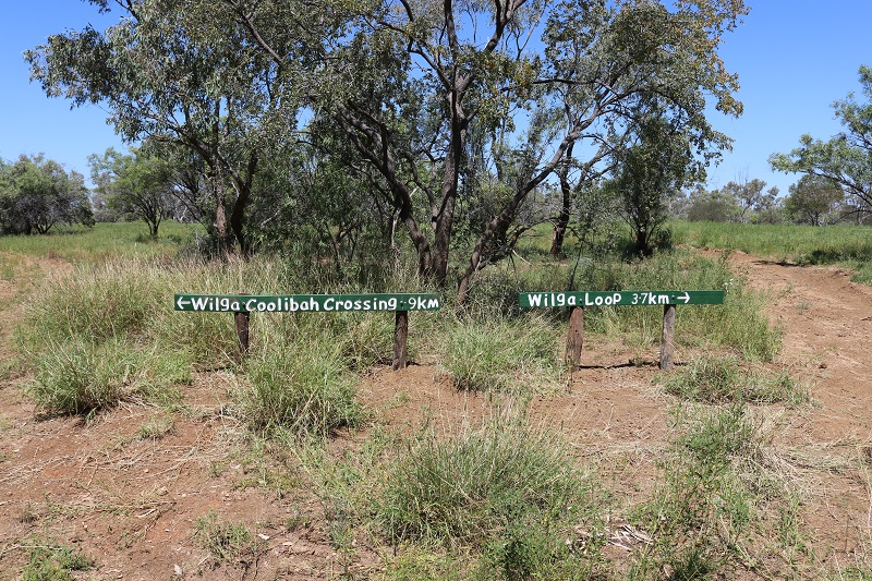
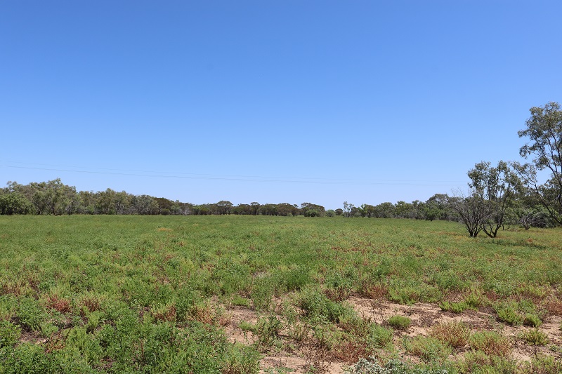
Iningai Nature Reserve is named after the Iningai Traditional Owners who lived along the Thomson River from the Stonehenge surroundings to Muttaburra prior to European occupation. The park is part of the Longreach Town Common and includes sections of floodplain and waterholes along the Creek. The park includes three walking loops around the Nature Reserve, with information points around the tracks. The landscape is part of the Mitchell Grass Downs region – one of the most extensive natural grassland ecosystems in the world. The clay soil formed is from sediment that accumulated on the bottom of the lakes and seabeds during the Cretaceous period, about 100 million years ago. Ecosystems range from Coolibah fringed waterholes to the adjacent, flat, and sparsely vegetated cracking-clay floodplains and surrounding low, open gidgee woodlands. Freshwater crabs and mussels are found in the creeks. Records to date show at least 13 mammals, 10 fish, 2 crustaceans, 130 birds, 11 frogs, 22 reptiles and 166 plant species occur in the various habitats, some of which are seasonal. These species are highly adapted to the arid climate and many live in the cracks in the clay soils; for example the stripe-faced dunnart. Floods are highly variable and the wildlife seize on the opportunity to breed and make use of the bountiful floodplain wetlands.
